Delhi October Rain Explained: 61.4 mm in a Day, IMD Red Alert, and Why This October Is the Wettest Since 2022
Key Takeaways
- Delhi recorded 61.4 mm of rain in the 24 hours ending 8:30 am on 30 October 2026, its wettest October day in four years; the last higher single October day was 74 mm on 9 October 2022.
- October 2026's cumulative rainfall reached 123.3 mm, the highest October monthly total since 2022, when the whole month recorded 128 mm.
- The IMD issued a red alert covering almost all of Delhi, warning of thunderstorms and lightning with heavy rain at isolated places over the next few hours.
- The rain came from Cyclone Arnab's remnants interacting with a western disturbance, and it pushed Safdarjung's maximum temperature to 25.4 degrees, about 5.6 degrees below normal.
- Rain briefly cleaned Delhi's air, with AQI at 90 (satisfactory) at 9:30 am, and skies are forecast to improve from Saturday, 31 October, with mainly clear skies on 1 and 2 November.
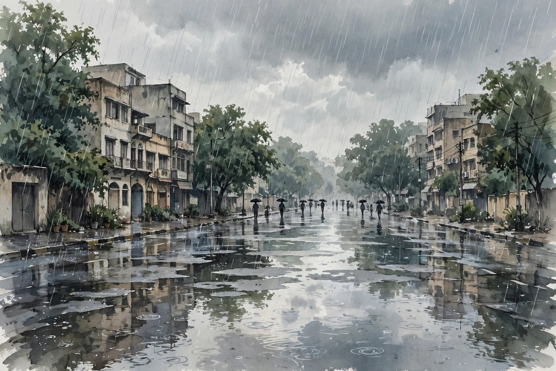
Delhi woke up on Friday, 30 October 2026, to dark clouds, mist and a chill in the air that felt nothing like a normal late-October morning. Overnight rain had soaked the capital, and by the time most people were starting their day, the India Meteorological Department (IMD) had a striking verdict: Delhi had just recorded its wettest October day in four years, and its highest monthly October rainfall since 2022.
The rain was not a brief shower. It was the tail end of a weather system that had already battered the east coast earlier in the week, and it arrived in Delhi with thunderstorms, lightning and a red alert covering almost the entire city. For a month that is usually associated with clear skies, retreating monsoon and the start of winter dryness, the downpour was unusual enough to become the day's biggest talking point — and a useful reminder of how quickly weather in a large city can turn.
The numbers that made it historic
The headline figure, reported by the IMD and carried by The Hindu, the Indian Express and other major outlets on 30 October, is 61.4 mm of rain in the 24 hours ending at 8:30 am on Friday. That single day's total made it Delhi's wettest October day in four years. The last time the city recorded more rain on a single October day was 9 October 2022, when it received 74 mm.
The monthly picture is just as unusual. With Friday morning's rain included, Delhi's cumulative rainfall for October 2026 reached 123.3 mm — the highest monthly October total since 2022. In October 2022 itself, the city had recorded 128 mm across the whole month, a figure that the current month, with more showers forecast, could approach or even pass.
Station-wise data tells the same story at a local level. Between 8:30 am on Thursday, 29 October, and 6 am on Friday, Jharoda Kalan recorded the highest rainfall at 89 mm, followed by Lodi Road at 63 mm and Safdarjung — Delhi's main weather station, whose readings are used as the city's official figure — at 56.5 mm. In other words, this was not rain confined to one corner of the city. It fell heavily across Delhi.
Temperatures fell with the rain. At Safdarjung, the maximum temperature was recorded at 25.4 degrees Celsius, about 5.6 degrees below the seasonal average, and reports put the expected maximum for Friday at around 27 degrees. Thursday had already been Delhi's coldest October day in four years, so the chill that residents felt on Friday morning was the continuation of a two-day cooling trend, not a one-off dip.
What the IMD red alert actually means
As the rain continued into Friday morning, the IMD issued a red alert for the next few hours, warning of more rain and thunderstorms across several parts of the capital. The alert covered a long list of areas: south-east Delhi, east Delhi, Shahdara, central Delhi, north-east Delhi, south Delhi, New Delhi, south-west Delhi, west Delhi, north-west Delhi and north Delhi — effectively the whole city.
It is worth understanding what that colour means, because IMD alerts are often quoted without explanation. The department's colour-coded warnings run from green (no action needed) through yellow (watch) and orange (be prepared) to red (take action). A red alert is the highest level. In this case it meant light to moderate rain accompanied by thunderstorms and lightning was very likely at most places over the next three hours, with heavy rain at isolated locations. The practical advice that goes with such an alert is straightforward: avoid unnecessary travel during intense spells, stay away from waterlogged underpasses and open areas during lightning, and keep an eye on official updates rather than rumours on social media.
The alert was a short-term warning, not a forecast for days of continuous deluge. That distinction matters. A red alert for the next few hours describes an intense, immediate spell; it does not mean the city will keep receiving the same intensity indefinitely.
Why did it rain so much in October?
October rain in Delhi is not unheard of, but rain on this scale is rare because the southwest monsoon has normally withdrawn by then. This spell had a specific cause, and it lay hundreds of kilometres away.
The immediate trigger was Cyclone Arnab, which had struck the east coast earlier in the week and brought extraordinary rainfall to Odisha. As the cyclone's remnants moved inland, they interacted with a western disturbance — a low-pressure system travelling in from the west that often brings winter rain to north India. When the moisture from the cyclone's remnants met the western disturbance over north India, the combination produced scattered rainfall and thunderstorms across the region, including Delhi.
That interaction also explains the sequence residents experienced. Thursday evening already saw cloudy skies, gusty winds and rain sweeping across parts of the city, with thunderstorms, lightning and hail reported in parts of central, New Delhi, south-west, west and north Delhi, and rain in areas such as ITO, Mandi House, Preet Vihar, Dwarka, Laxmi Nagar, Mayur Vihar and Shalimar Bagh. The overnight spell that followed was heavier and more widespread, and it is that spell which pushed the 24-hour total to 61.4 mm.
In short, Delhi's record October day was not a freak local cloudburst in isolation. It was the northern edge of a much larger weather system, shaped by a cyclone in the Bay of Bengal and a western disturbance arriving at the same time.
What the rain did to the city
Heavy overnight rain in a city of Delhi's size always has a visible effect, and Friday morning was no exception. Reports on Friday morning noted that heavy rainfall late on Thursday night and into Friday morning affected several areas, including around Hazrat Nizamuddin Railway Station and Jamia Millia Islamia, as temperatures fell further. Commuters woke to wet roads, slow traffic in places and the usual October problem in reverse: instead of dust and haze, water on the roads and low visibility in the early mist.
It is important not to overstate the disruption. Unlike the flooding seen in parts of Odisha from the same system, where villages were marooned and rescue operations were needed, Delhi's story on Friday was one of a very wet, cold and disrupted morning rather than a disaster. No city-wide emergency was declared, and the IMD's warning was framed as a few hours of intense weather, not a prolonged crisis. That contrast is itself informative: the same weather system can be devastating in one region and merely disruptive in another, depending on how much rain falls, over what terrain, and how quickly water can drain.
The timing also mattered for daily life. The rain fell overnight and into the morning, exactly when schools, offices and transport were starting up. It also coincided with the festive season, when many families had evening plans. The previous evening's cloudy conditions had already posed a hurdle for moon sighting on Karwa Chauth, with dense cloud cover over Delhi-NCR making visibility difficult — a small but telling detail about how weather touches even cultural life.
The silver lining: cleaner air
One clear benefit of the rain was visible in the air quality readings. Delhi's Air Quality Index (AQI) stood at 90 at 9:30 am on Friday, placing it in the "satisfactory" category according to the Central Pollution Control Board, and readings near India Gate were reported at around 93, also in the satisfactory range. For a city that spends much of late October worrying about deteriorating air as winter approaches, rain washing pollutants out of the air is a genuine, if temporary, relief.
The relief should not be oversold. Rain improves air quality while it lasts, but it does not change the underlying sources of pollution, and AQI can climb again once skies clear and the usual winter conditions — low wind, cooler air and local emissions — return. The rain bought Delhi a cleaner morning, not a cleaner winter. Still, after days of hazy conditions, a morning with an AQI in the satisfactory range was a noticeable change, and it was one of the reasons the rain was welcomed by many residents even as it disrupted travel.
What happens next
The good news for Delhi residents is that the intense phase is expected to be short. Forecasts carried on Friday indicated that weather conditions are likely to improve from Saturday, 31 October, with partly cloudy skies forecast across the national capital. The outlook for 1 and 2 November points to mainly clear skies and more stable weather.
That pattern — a sharp, wet spell followed by clearing skies — fits the cause described above. Once the cyclone remnants and the western disturbance move on, there is no fresh system lined up to keep the rain going at the same intensity. Temperatures are expected to settle back towards normal for the season, and the winter chill that the rain brought forward by a few days will give way to the more typical late-autumn pattern of cool mornings and pleasant days.
Residents should still treat Friday's remaining showers with care. A red alert, even a short one, is issued because lightning and sudden heavy spells can be dangerous, particularly for people on two-wheelers or in open areas. Checking the IMD's latest nowcast before stepping out, avoiding waterlogged stretches, and allowing extra time for travel remain sensible precautions until the alert is lifted and skies clear.
Conclusion
Delhi's 61.4 mm of rain on 30 October 2026 will be remembered as a statistical landmark — the wettest October day in four years and part of the wettest October since 2022 — but its real significance is simpler. It showed how a cyclone hundreds of kilometres away, combined with a western disturbance, can rewrite the weather of the capital in a single night, bringing record rain, a sharp temperature drop, a city-wide red alert and, briefly, cleaner air.
For residents, the practical lesson is to take colour-coded alerts seriously but literally: a red alert for a few hours means act now, not panic for days. And for anyone tracking India's changing weather, this October is now a case study in how unusual the "normal" month can be. The skies are expected to clear from Saturday. The record, however, will stay in the books until some future October beats it.