Is Another Cyclone Coming to Andhra Pradesh After Cyclone Arnab? IMD's Forecast for 2 November Explained
Key Takeaways
- The IMD's 31 October bulletin says a well-marked low over the southeast Bay of Bengal is likely to become a depression within six hours and a cyclonic storm within the next 24 hours.
- The system is expected to move west-northwest and reach near the Andhra Pradesh coast by the evening of 2 November, but the IMD had not yet forecast a landfall point.
- If it becomes a cyclonic storm, it will be named Murasu, a name proposed by India meaning 'drum' in Tamil.
- Heavy rain is forecast for coastal Andhra Pradesh and Yanam, and for Tamil Nadu, Puducherry and Karaikal until 5 November, with squally winds rising to 50-60 kmph, gusting to 70 kmph, along the coast by the evening of 2 November.
- Unlike Arnab, which hit land at 125-135 kmph, the new system's final strength is not yet known; its risk is arriving while recovery from Arnab is still under way.
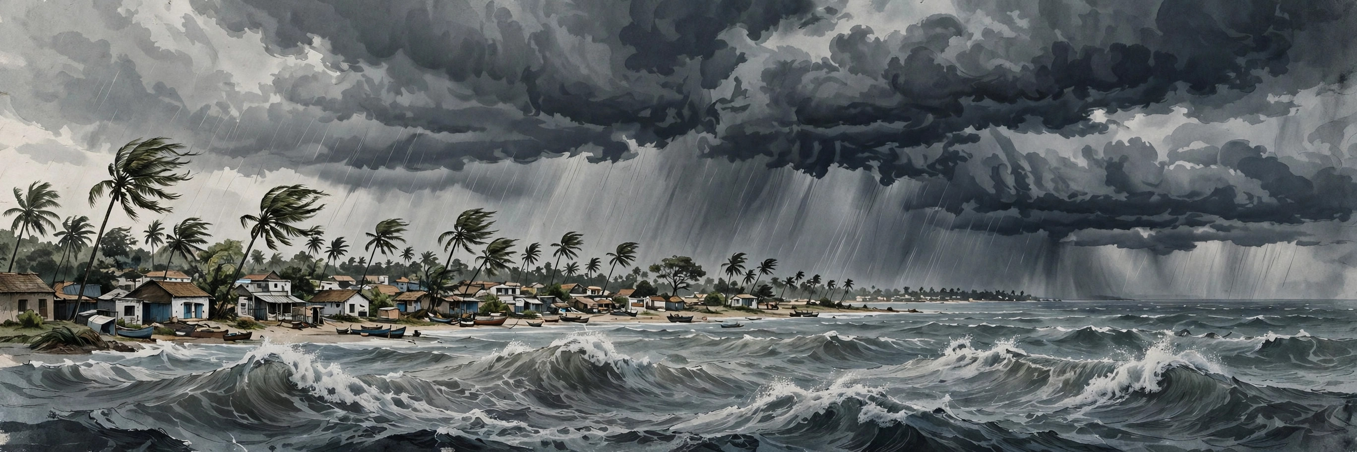
Less than a week after Cyclone Arnab battered the Andhra Pradesh coast, the question many people in the state are now asking is whether another cyclone is coming to Andhra Pradesh after Cyclone Arnab. The short answer, based on the India Meteorological Department's (IMD) bulletin of Saturday, 31 October 2026, is that a new weather system over the Bay of Bengal is strengthening fast and is expected to reach near the Andhra Pradesh coast by the evening of Monday, 2 November. It has not yet become a cyclone, and the IMD has not yet forecast a landfall point — but the direction of travel and the speed of intensification are why officials are watching it closely.
This article explains what the IMD has actually said, the timeline from low-pressure area to a possible cyclonic storm, which areas are likely to get heavy rain and strong winds, what name the storm would get, and how this system differs from Cyclone Arnab.
What did the IMD say on 31 October?
In its bulletin issued at 8.30 am on Saturday, 31 October 2026, the IMD said a low-pressure area that formed over the South Andaman Sea had intensified into a well-marked low-pressure area over the southeast Bay of Bengal and adjoining areas of the Andaman Sea. The system was expected to concentrate into a depression over the same region within the next six hours, and then intensify further into a cyclonic storm during the subsequent 24 hours.
In plain terms, the IMD was describing a three-step ladder: well-marked low-pressure area, then depression, then cyclonic storm. Each step means stronger, more organised winds around the system's centre. A system is only called a cyclonic storm once it crosses a defined wind-speed threshold, which is why Saturday's system did not yet have a cyclone name attached to it in the IMD's morning bulletin.
The department said the system is very likely to move west-northwestwards towards the west-central Bay of Bengal. That track is what brings it towards the Andhra Pradesh coast, rather than curving away towards the open sea or towards another coastline.
What is the timeline for the new Bay of Bengal system?
Putting the IMD's 31 October bulletin together, the expected sequence looks like this:
- **31 October, morning:** A well-marked low-pressure area sits over the southeast Bay of Bengal, near the Andaman and Nicobar Islands.
- **31 October, within about six hours of the morning bulletin:** The system is likely to concentrate into a depression.
- **Within the following 24 hours:** The depression is likely to intensify further into a cyclonic storm.
- **Evening of 2 November:** The system is expected to reach the west-central Bay of Bengal near the Andhra Pradesh coast.
The 2 November date is the key one for coastal Andhra Pradesh. However, readers should note an important distinction: reaching "near the Andhra Pradesh coast" is not the same as a confirmed landfall. The New Indian Express, reporting the same IMD bulletin, specifically noted that the IMD had not forecast a landfall at that stage. Some other reports described the system as crossing the coast on 2 November, but until the IMD names a landfall location and time in a later bulletin, the careful reading is that the system is approaching the coast, with its exact landfall — if it makes one — still to be pinned down. Forecasts for cyclones are updated every few hours precisely because the track and intensity can change.
Will the storm be called Cyclone Murasu?
If the system does intensify into a cyclonic storm, it will be named Murasu, according to reports based on the IMD's bulletin. Murasu is a name proposed by India, and it means "drum" in Tamil. Cyclone names in the North Indian Ocean are drawn from a pre-agreed list contributed by the region's coastal countries, and names are assigned in sequence as storms form — they are not chosen after the event.
It is worth being precise here: Murasu is the name the storm would carry if and when it reaches cyclonic-storm strength. Until the IMD confirms that intensification, the system is best described as a developing Bay of Bengal system, not yet as Cyclone Murasu. News reports using the name early are anticipating the next step in the forecast, not reporting a step that has already happened.
Which areas are expected to get heavy rain and strong winds?
Even before any landfall question is settled, the IMD's forecast already carries rain and wind warnings for several regions:
- **Coastal Andhra Pradesh and Yanam** are expected to see heavy rainfall as the system approaches.
- **Tamil Nadu, Puducherry and Karaikal** are forecast to receive heavy rainfall until 5 November.
- **Kerala** has been placed under yellow alerts for isolated heavy rainfall in several districts between 1 and 4 November, with 7–11 cm of rain possible at isolated places within 24 hours.
- **Winds of 30–40 kmph, gusting to 50 kmph**, were forecast along and off coastal Andhra Pradesh, Yanam and Rayalaseema until 1 November.
- **Squally winds of 45–55 kmph, gusting to 65 kmph**, are expected over the southeast Bay of Bengal on 1–2 November, strengthening to 50–60 kmph, gusting to 70 kmph, over the west-central Bay of Bengal on 2–3 November.
- **Along the Andhra Pradesh, north Tamil Nadu and Puducherry coasts**, squally winds of 40–50 kmph, gusting to 60 kmph, are likely from the morning of 2 November, rising to 50–60 kmph, gusting to 70 kmph, by the evening.
The IMD has also warned of rough sea conditions along the Andhra Pradesh coast and has advised fishermen not to venture into the Andaman Sea and along and off the Andaman and Nicobar Islands. A fishermen warning is in force from 31 October to 3 November, and it is the kind of advisory that is typically extended or revised as the system moves.
How is this different from Cyclone Arnab?
Cyclone Arnab, which crossed the Andhra Pradesh and Yanam coasts near Narsapur between 2 am and 8 am on Wednesday, 28 October 2026, was a much stronger system at landfall. The IMD reported maximum sustained winds of 125–135 kmph, with gusts reaching 150 kmph, and the storm had weakened from a very severe cyclonic storm to a severe cyclonic storm just before and during landfall. It left deaths, damaged infrastructure and crops, flooded villages, and forced evacuations in coastal districts of Andhra Pradesh and Odisha.
The new system, by contrast, is still in its formative stage over the open Bay of Bengal. Its eventual strength is not yet known, and it would be wrong to assume it will match Arnab's intensity. What makes it serious is timing rather than proven strength: it is arriving while relief and restoration work from Arnab is still under way. On 31 October, the Ministry of Communications reported that telecom network availability in Andhra Pradesh had reached 99.18 per cent after Arnab-related disruptions, with restoration continuing in Odisha's Ganjam, Gajapati and Kandhamal districts. A second spell of heavy rain and strong winds, even from a weaker storm, would test roads, power lines, drainage and standing crops that have barely had time to recover.
There is also a wider weather connection worth noting. Arnab's remnant moisture helped push unusual late-October rain far inland — Delhi recorded its coldest October day in 75 years on 30 October, and Mumbai saw light showers — which shows how a Bay of Bengal system can influence weather well beyond the coast. The new system's rain belt, however, is forecast mainly for the southern peninsula, not for north India.
What should people in coastal Andhra Pradesh do now?
The most important step is to follow official updates rather than social-media forecasts. The IMD issues bulletins several times a day during a developing system, and district administrations issue local advisories on evacuations, school closures and fishing bans. Residents of low-lying coastal areas should keep an eye on district collector announcements over the weekend, particularly on Sunday, 1 November, when the system is expected to have become a cyclonic storm and its track should be clearer.
Fishermen should respect the IMD's advisory not to venture into the sea in the warned areas, and farmers in coastal districts should watch for crop advisories, since heavy rain at this stage of the harvest cycle can damage paddy. Travellers planning journeys along the Andhra coast around 2 November should check road and train updates before setting out, as heavy rain can disrupt transport at short notice.
Finally, it helps to treat early social-media claims about the storm's exact landfall place with caution. Until the IMD issues a landfall forecast, any specific district named online is speculation, not an official warning.
Conclusion
So, is another cyclone coming to Andhra Pradesh after Cyclone Arnab? On the IMD's 31 October forecast, a new Bay of Bengal system is very likely to become a cyclonic storm — possibly named Murasu — and reach near the Andhra Pradesh coast by the evening of 2 November, bringing heavy rain to coastal Andhra Pradesh and Yanam, and to Tamil Nadu, Puducherry and Karaikal until 5 November. What is not yet settled is whether, where and how strongly it will make landfall. The next two IMD bulletins, on Saturday evening and Sunday, will matter more than any single headline: they will show whether the system has become a depression, then a storm, and whether its track towards the Andhra coast is holding. For a coast still recovering from Arnab, that is reason for preparation, not panic — and for checking the official forecast again before Monday.